

The Institute of Robotics and Information and Communication Technologies (IRTIC), located in the scientific-academic area of the Science Park University of Valencia, has achieved a new advance in the use of artificial intelligence applied to Earth observation. In the framework of the ASOTVAS project, a research team has shown that it is possible to classify land cover with high precision using machine learning and deep learning techniques, even when a small number of training samples are available
The results of the study have recently been published in the scientific journal International Journal of Applied Earth Observation and Geoinformation (Elsevier), and consolidate the position of the Valencia Anchor Station (VAS), located in the district of Utiel-Requena, as a strategic location for the validation of remote sensing data from international programmes such as Copernicus, CEOS or NASA.
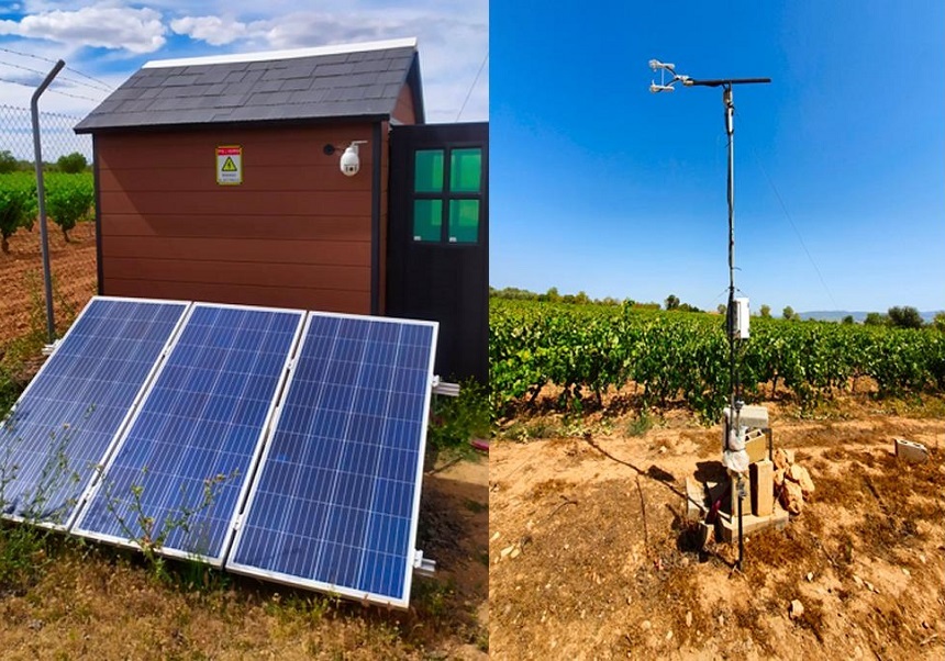
During the three-year duration of the project, from September 2021 to August 2024, the team has collected data on soil moisture, surface temperature and biophysical vegetation parameters, with the aim of improving the quality of satellite observations through artificial intelligence and semantic analysis.
The study has focused on an area of 10x10 kilometres around the VAS, extending to an area of 30 30 kilometres. Using multi-time images from the 2021 Sentinel-2 satellite, the researchers compared the performance of six machine learning and three deep learning algorithms. Among them, the model based on residual convolutional neural networks (ResCNN) stood out, which achieved an overall accuracy of 96% and a kappa coefficient of 95% in July, coinciding with the maximum development of vineyards.

In addition, the results indicate that, with a robust methodology, it is possible to extend the analysis area by up to 10 additional kilometers without adding new training samples. The model developed by the team far outperformed global products such as ESA WorldCover and ESRI Land Use/Land Cover.
The work has been carried out by researchers David García-Rodríguez, Ana Pérez-Hoyos, Beatriz Martínez, Pablo Catret, José Javier Samper, Ernesto López-Baeza and Juan José Martínez, all of whom are linked to the University of Valencia. This advance reinforces the relevance of artificial intelligence in improving remote sensing and land-use analysis for scientific and environmental purposes.
Source and photos: IRTIC