

A team from the Image Processing Laboratory (IPL), located in the Science Park of the University of Valencia, participates in the CIMR L2 PAD project to develop the processor that will allow estimating the main climate variables of the planet from data from the ESA CIMR satellite. With CIMR, the European Space Agency intends to safeguard the polar regions from the devastating effects, on a global scale, of climate change. The UV will create the algorithms to estimate parameters such as the water content of the soil or the temperature of the earth’s surface, among others. The project will contribute to increasing the capabilities of the European Copernicus service, the world’s leading provider of Earth observation data
CIMR L2 Product and Algorithm Development (PAD) is an essential element of the CIMR (Copernicus Imaging Microwave Radiometer) mission, designed to safeguard the Arctic from the greatest increases in temperature increases by the planet and address a possible future scenario without the presence of sea ice. This is one of the six ‘Copernicus Sentinel Expansion’ missions that the European Space Agency (ESA) is developing to expand the capabilities of the Copernicus program.
The CIMR L2 PAD project will develop the data processor that will be responsible for obtaining the most necessary climate variables from data captured by ESA’s largest and most precise radiometer, which will be launched at the end of this decade on board CIMR and which will provide unprecedented measurements over global sea ice, ocean and land. They will be data referring to the temperature of the sea surface and the land surface, salinity, oceanic wind, the state of the snow or soil moisture, among many other essential variables to understand current climate changes and address the problems of accelerated warming of the Arctic polar zone that significantly affect global climate patterns, human populations and life on planet Earth.
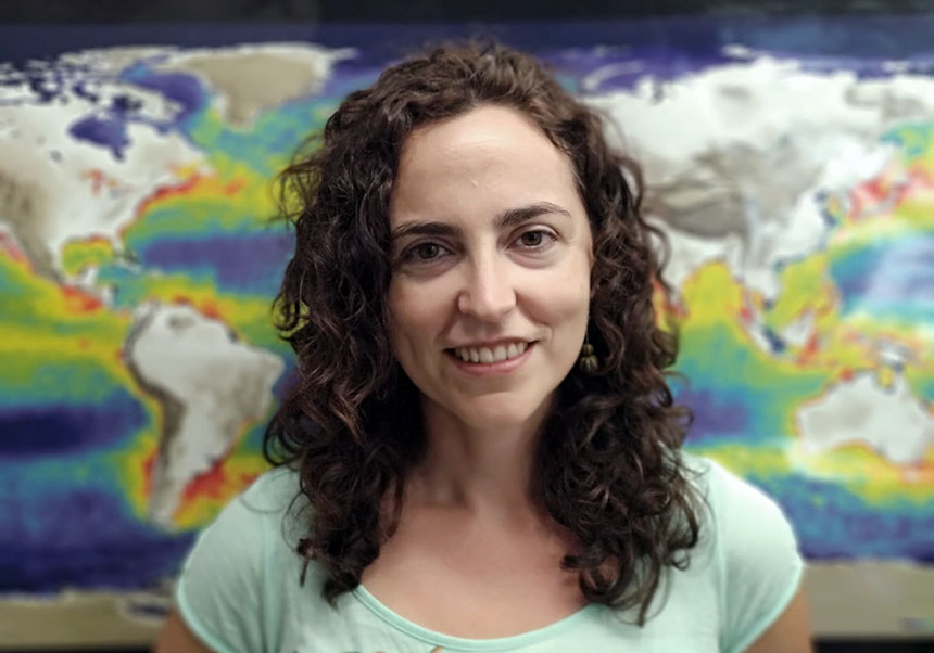
“For the first time we will be able to observe fundamental variables of the planet’s water cycle, such as the thickness of the sea ice, the salinity of the oceans, and the soil moisture over continents from the same platform, with a daily revisit and with unprecedented precision and spatial resolution”, Maria Piles, researcher at the Image Processing Laboratory (IPL)
Led by Maria Piles, Telecommunications engineer and researcher at the Image Processing Laboratory (IPL), located in the Science Park of the University of Valencia, the team will be in charge of developing the algorithms that will estimate soil moisture vegetation water content and land surface temperature, and will detect the presence of seasonally inundated regions. To do this, the UV team will use future microwave measurements from the CIMR satellite, improving European Earth observation capabilities. “This project represents a significant leap in Earth observation technology”, says María Piles. “For the first time we will be able to observe fundamental variables of the planet’s water cycle, such as the thickness of the sea ice, the salinity of the oceans, and the soil moisture over continents from the same platform, with a daily revisit and with unprecedented precision and spatial resolution”, adds the Valencian scientist.
As a distinctive feature, the project is developed from an open source approach for the so-called Algorithm Theoretical Base Documents (ATBD) and for the software, promoting the FAIR (Findability, Accessibility, Interoperability and Reusability) principles, that is, seeking a transparent and reproducible science.
CIMR L2 PAD is carried out by a consortium of European experts and organisations, led by the Meteorologisk Institutt (MET) in Norway. In addition to the University of Valencia, the consortium is made up of 12 partners, including research centres, universities and private companies.
The European Space Agency has recently released a video on CIMR, the mission that will be launched to monitor the melting ice in the Arctic, and how it will affect the whole planet, that carries on board what will be ESA’s largest and most precise radiometer, and taking a giant step in imaging technology for Earth observation.